None the less, I was afforded an open day with nothing on the itinerary. I was camped in Lower Lee Vining canyon and figured a day hike to the top of Mount Dana was in order.
Mt Dana is Yosemite national park's second highest peak at 13,057'. It's a pretty popular hike due to it's close proximity to the Tioga Pass road. In fact the use trip itself start at the Tioga Pass entrance station.
Thursday September 7th 2011:
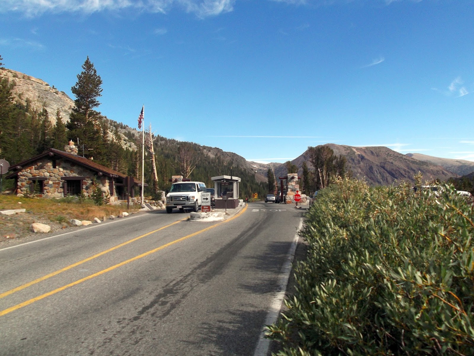
By 10 AM I was parking at a small lot pullout next the the Tioga Pass entrance station and crossing the street. Somewhere, although not very apparent a use trail takes off over towards Mt Dana from here.
Not too long after crossing a few flat fields signs of many use trails began to converge on a primary one. It was truly amazing to see that much snow still hanging on even in September!

The trail crosses the flat section of the Tioga pass and then ascends the lush forest east towards Mt. Dana.

Within 45 minutes of hiking, I was above the tree line looking at amazing views of Tuolumne Meadows.

The slopes of Mt Dana are class 1, but it is a solid 3,000' climb up to the summit.

2 and a half hours after leaving my car I was on the summit! Magnificent views of Mono Lake!

I shot the 3 panoramas below which make a 360 degree view from the summit. Mono Lake and the eastern sierra crest, Lyell canyon and Tuolumne Meadows, and lastly Tioga Pass with the Conness and the Sawtooth range.


